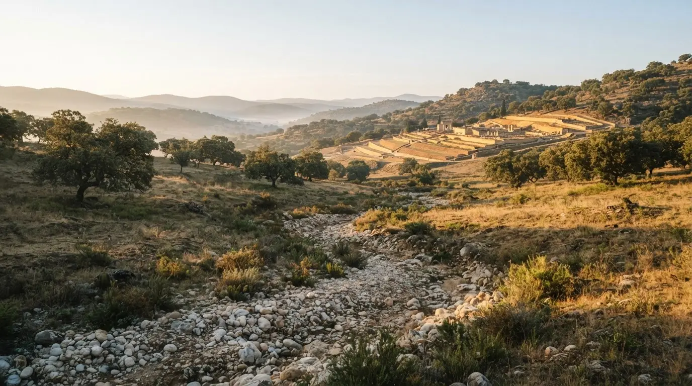

One name, two structures: a Roman channel and a caliphal bridge
Valdepuentes is the modern name of the Aqua Augusta, one of the three aqueducts that supplied Roman Corduba alongside the Aqua Fontis Aureae and the Aqua Nova Domitiana Augusta[7]. It was the first of them, built under Augustus as the city grew, and it became the Aqua Vetus, the old aqueduct, once the second line was in service[8]. Over time it has carried three names: Augusta, Vetus and Valdepuentes.
Caliphal Córdoba added a second meaning. The engineers working for Abd al-Rahman III kept the Roman channel and built a bridge-aqueduct of their own, which is also called the Valdepuentes aqueduct. The archaeologist Antonio Vallejo Triano reads it as a political act, a way for the caliph to claim the whole hydraulic work as his[9]. Whether a heritage listing or a map means the Roman line or the caliphal bridge has to be read from context.
The Roman line: a long underground channel from the Sierra Morena
The water was gathered near Santa María de Trassierra, from the arroyo del Bejarano, the caño de la Escarabita and the Veneros de Vallehermoso[11]. From there the Roman line is usually given a length of about 18.6 km, almost all of it underground[1]. Gravity did the work, so the engineering problem was managing the fall. Three figures describe the line:
- The channel (specus) was cast in concrete (opus caementicium), lined inside with waterproof opus signinum, and measured 90 by 64 cm in section[12].
- 39 drop shafts (spiramina) over barely two kilometres of the Valdepuentes slope broke the water's speed on the steep ground[13].
- Estimated delivery to the city was 20,000 to 35,000 m³ a day[2].
That estimate belongs to Roman Corduba. Some nine centuries later the same channel box carried water to a single palace-city, which is what makes the arrangement unusual: the engineering had already been done, and what the caliphate added was the final approach.
A practical consequence follows for anyone reading about the line. The channel's section, its drop shafts and its output describe the Roman installation, so they say what the caliphal engineers inherited, not what they built. The new spur and the bridge-aqueduct sit on top of that inheritance, and keeping the two apart is the quickest way to avoid the naming trap.
Reaching the palace: a new spur, then lead pipes and basins
The Roman line did not reach the palace by itself. Medina Azahara was built where the aqueduct already ran, but the Roman channel lay several metres below the platforms, so a new spur was laid further back to bring a permanent supply to the higher levels[14]. Height mattered because every pipe and channel downstream ran by gravity.
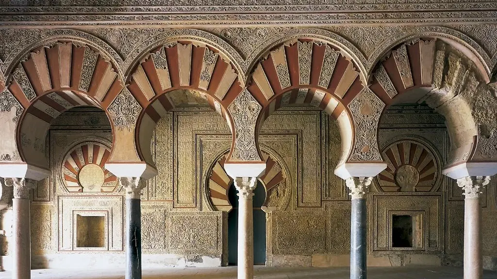
Explore nearby · Monument
Medina Azahara
Medina Azahara is Córdoba's UNESCO listed Caliphate City: a 10th century palace 8 km from town, with the Salón Rico and award-winning museum. Plan your visit.
The distribution inside the palace followed from that height. Water arriving at the top could be sent down to the houses by pipe and to the gardens by open channel, so the pipes, basins and sloping gardens work as a single scheme rather than a scatter of fountains.
Lead pipes, courtyard basins and bronze fawns
From the main branch, water reached the buildings through lead pipes and, less often, clay ones (atanores)[15]. In some houses a drinking-water point stood at the centre of the courtyard, with basins that included a large collection of reused Roman sarcophagi and spouts such as the well-known bronze fawns[16]. The Roman reuse was not confined to the channel.
Garden basins that irrigate downhill
The Upper Garden slopes gently from north to south, which let the large basin on its northern side irrigate the garden below[17]. In the Vivienda de la Alberca, water channels ran along the edges of a sunken courtyard and fed its basin[18]. Elite Córdoba liked its water on show elsewhere too: the caliphal almunias on the outskirts were laid out around it.
Where the water went: 1,800 m of sewers and a Roman channel turned drain
Supply was half the design. A separate water circuit fed the latrines, which stood in every building, and two private baths are known, one in the Vivienda de la Alberca and one in rooms beside the Salón de Abd al-Rahman III[19].
Drainage was just as deliberate. Apart from the garden pools, the palace had no underground cisterns, and rainwater was sent straight into the sewers[20]. The documented network already runs to more than 1,800 m of underground channels[3], a sanitation system with no parallel among the large cities of its day, in Vallejo Triano's judgment[21].
The sharpest detail is a reversal. Beneath the middle of the palace's upper platform the Roman channel runs straight for more than 200 m[22]; at that point it no longer carried supply and served as a great sewer, its box holding a large volume of waste material[23]. A first-century water line ended up carrying the palace's refuse, a plain economy: the trench already existed, and the engineers used it.
Read together, the two halves of the system explain the arrangement. Water came in high, by gravity, through lead and clay pipes, and left low, through sewers that took rainwater and waste alike. With nothing stored underground[20], the palace depended on a steady flow from the sierra, which is why the long Roman channel mattered more than any single basin or fountain.
What survives, and what the heritage records protect
One surviving piece of the Roman channel stands in a garden by the Glorieta de Santa Beatriz in Córdoba: a 2.5 m fragment from a stretch of more than 70 m uncovered during building excavations at La Arruzafilla[24]. It is a small thing to look at. Set against the whole channel, it is a small sample too.
The aqueduct was declared a Historic-Artistic Monument on 4 June 1931[25]. The 1996 delimitation of Medina Azahara lists a water capture and distribution system, documented in the Valdepuentes aqueduct, among the defining elements of the protected site[26], and UNESCO's 2018 listing of the ensemble likewise counts water systems among its infrastructure[27].
Recommended tours
Tours are selected for quality, not commission. We earn a small fee if you book — at no extra cost to you.

Do not go looking for arches. The Roman line is mostly underground, with short raised stretches only where it crosses a depression such as a stream bed[28], and it has no arcaded sections because the terrain never called for them[29]. The monument itself lies inside a privately owned estate[30], so it cannot be visited as a walk-in sight. Its Bien de Interés Cultural registration as an archaeological zone is recorded in the Andalusian bulletin of 18 June 1996[31].
Deep dive · Article
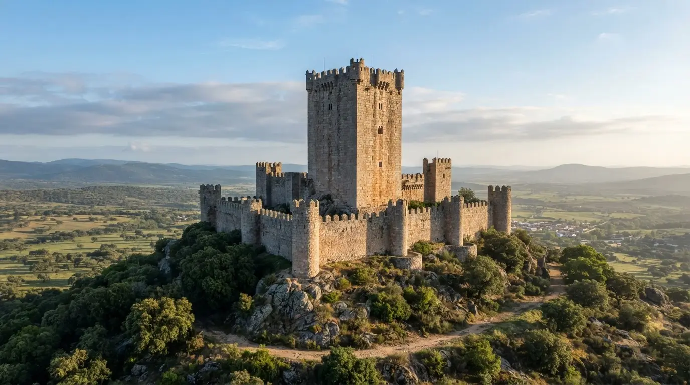
47 Metres Tall and Almost Unknown: Spain's Tallest Keep
Belalcázar Castle's 47 m keep is listed by the Junta de Andalucía as Spain's tallest. How it grew, what to see inside and how to book the free guided visit.
To see how the water was used rather than how it arrived, go to Medina Azahara itself, where the gardens and courtyards described above are part of the excavated palace. The excursion to Medina Azahara is the practical way to get there.
On site, treat the water as the palace's organising constraint. Basins sit where the slope lets them feed the gardens below, and the courtyard channels lead to them, so tracing where the water came from inside those arrangements is a better way to read the ruins than hunting for the aqueduct itself.