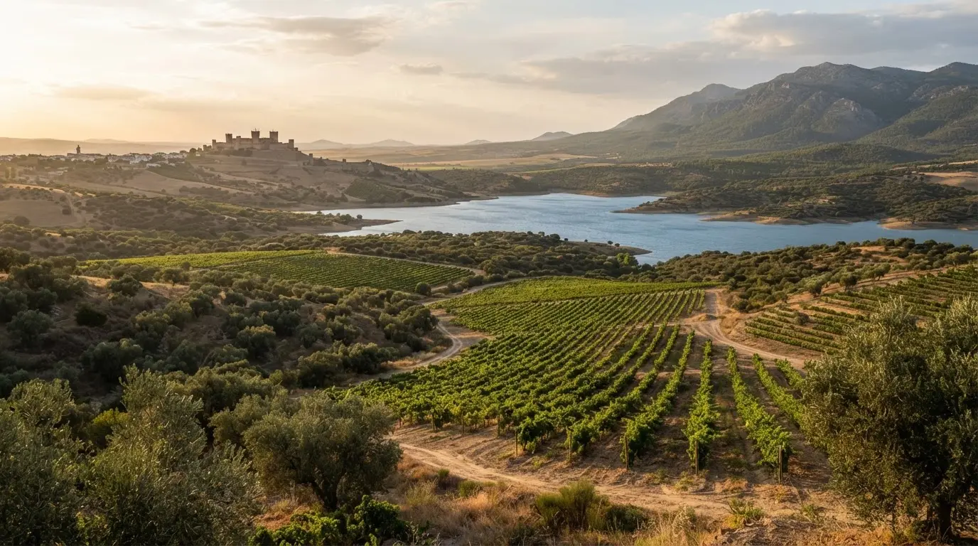

A route that treats the land as the monument
The Guía Digital del Patrimonio Cultural de Andalucía is the IAPH's online atlas of heritage routes. Diario Córdoba puts it at close to 40 routes across the eight Andalusian provinces,[6] and says Córdoba already had eight cultural routes in it before this one.[7] The new route changes the subject from buildings to ground.
The IAPH's stated aim, as the paper reports it, is to show how people have historically related to their physical surroundings.[8] Behind it sits the Registro de Paisajes de Interés Cultural de Andalucía, which currently holds 118 landscapes.[3] A 2020 IAPH press dossier counted 15 documented for Córdoba province,[9] so eight stages is a selection, not a census.
- Madinat al-Zahra
- Almodóvar del Río
- The Montilla wine landscape
- The Iznájar water landscape
- Montoro
- The Los Pedroches olive landscape
- The Alto Guadiato mining landscape
- The recreated landscape of the Sierra de Santa Eufemia
The route can be exported. The cartography downloads as GPX, the format a car satnav or hiking app reads,[11] and as KML, which opens in Google Earth or Google Maps.[12] That is the useful part for a driver. Load the KML into Google Maps before you leave the hotel and measure the legs yourself, because the reporting gives no drive times.
From the caliphal city to the vines
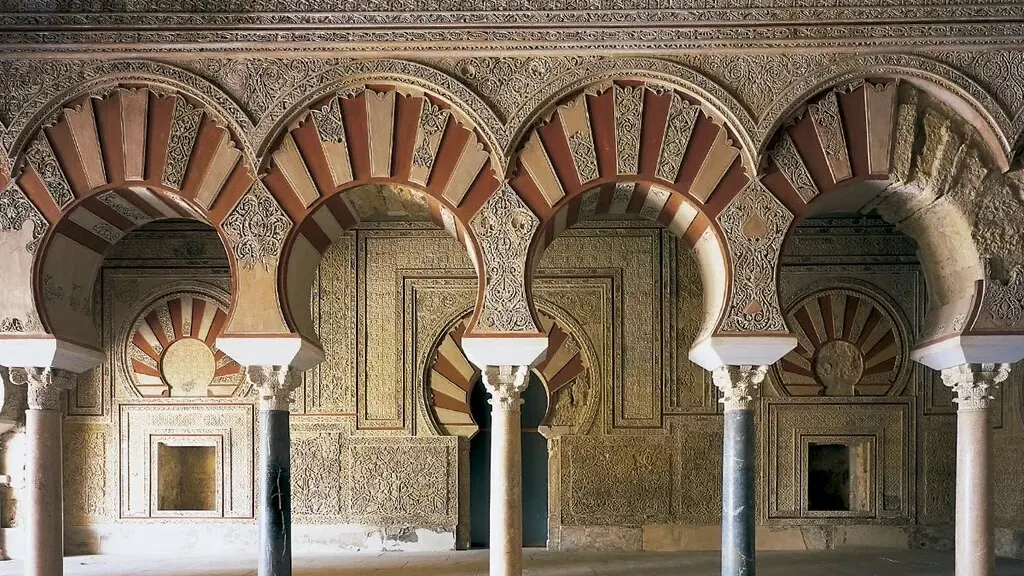
The route opens at the stage every visitor already knows. Madinat al-Zahra began as a newly founded Umayyad city in the mid-10th century, seat of the Caliphate of Córdoba.[13] UNESCO lists it partly as an example of urban planning that combined architecture with landscape,[14] which is why it fits here: the city was planned with its setting in mind. The Medina Azahara page covers the ruins themselves.
Explore nearby · Monument
Medina Azahara
Medina Azahara is Córdoba's UNESCO listed Caliphate City: a 10th century palace 8 km from town, with the Salón Rico and award-winning museum. Plan your visit.
Almodóvar del Río is where the IAPH's way of looking is easiest to follow. Its sheet reads the castle through one trait, strategic position for territorial defence.[15] It was built in the Andalusian period to protect the cora of Córdoba[16] and still stands as a monumental counterpoint to the flat vega of the Guadalquivir.[17] Read this way, it is a lookout over the plain before it is a film set. For the castle's film history, see our piece on Almodóvar del Río castle.
Montilla suits anyone expecting a wine trail and getting a land-use argument instead. The IAPH notes that the landscape still alternates olive groves and vineyards,[18] and that today's vineyard took shape only from the second half of the 18th century.[19] That makes it roughly eight centuries younger than the caliphal city that opens the route. For the wine itself, see why Montilla-Moriles is not sherry.
Three stages in, the pattern is visible. A palace city planned against its setting, a castle sited to control a plain, a vineyard patterned by 18th-century economics. Each entry asks what people did to the ground, not what stands on it.
Water and river: Iznájar and Montoro
Iznájar would surprise anyone who thinks heritage means old. The reservoir on the middle Genil took a decade, with works starting in 1959 and finishing in 1969.[4] The dam was projected for flood defence, supplying numerous towns, irrigation and electricity,[20] which makes this infrastructure within living memory, treated as heritage.
The town sits where the Subbética meets the Sierra de Ronda, beside the reservoir,[21] and the IAPH notes the surrounding hills under dry-farmed olive monoculture.[22] Water and olives explain this corner of the province better than any single monument does.
Montoro is 45 km from the provincial capital, in the Guadalquivir valley.[5] The IAPH sheet places the town on a rise near a bend of the river, with the sierra to the north and Córdoba's vega to the south,[23] and notes that a monumental bridge built in 1498 marks the river landscape powerfully.[24] The meander was declared a natural monument of Andalusia in 2011,[25] so this stage joins built and natural protection. The Montoro meander article has the walking detail.
Olives, coal and a castle left to ruin
Los Pedroches is the stage most likely to be misfiled. Here the route means olives: the IAPH register carries a Paisaje oleícola de Los Pedroches for Pozoblanco and Añora.[26] The medieval Arabic name for the plain, Fahs al-Ballut, means "plain of acorns",[27] so the oak-and-acorn image is not wrong for the area, just not this stage.
Alto Guadiato is the industrial stage. The IAPH sheet picks the chimneys of the former mining buildings at Peñarroya-Pueblonuevo as among the landscape's most characteristic elements,[28] and records that activity has shrunk to feeding thermal power plants.[29] The IAPH's 2020 Córdoba dossier also names the coal mining basin of Alto Guadiato,[30] so the new route is revisiting familiar ground.
Deep dive · Article
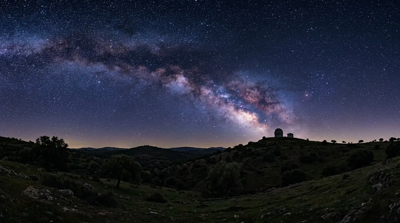
Stargazing Near Córdoba: From Ibn Firnas to Los Pedroches
Córdoba's Caliphate-era astronomers charted the stars centuries ago; today Los Pedroches, under 90 minutes north, offers certified dark skies to see them.
The route closes in the Sierra de Santa Eufemia, which the report calls a "recreated" landscape.[2] The IAPH sheet puts the northern limit of the dehesa fields there.[31] It also records that the castle on the summit was stripped of its military force and its ruin deliberately brought about,[32] and that visitor interest centres on the rocky promontory carrying what remains.[33] A route about people and territory ends on a fortress people chose to wreck.
Planning your own drive from the files
Here the reporting runs out. Nothing sourced says how long the stages take to drive, whether they work as a single day, or where to park at each. The only distance on record is Montoro's 45 km from the provincial capital.[5] Treat the eight stages as a menu, not a timetable, and settle day trip or overnight with the map open beside it.
Check the Guía Digital before you go
The stage list, its order and the GPX and KML files come from the route as reported by Diario Córdoba. Open the IAPH Guía Digital for the current version before planning a day around one stop.
Load the KML into Google Maps, measure the legs, then pick the stages that share a direction out of the city. The IAPH did the same for Jaén: eight of the 116 landscapes then in the register,[34] each with an individual technical sheet.[35] Read the sheet for a stage before you drive to it; the sheets are where most of the detail in this article comes from.
Recommended tours
Tours are selected for quality, not commission. We earn a small fee if you book — at no extra cost to you.
What the reporting does not say is what each stage is like on the ground: opening hours, access, signage. Until the IAPH's own route page can be checked, the GPX file is the one part of this route you can test yourself.